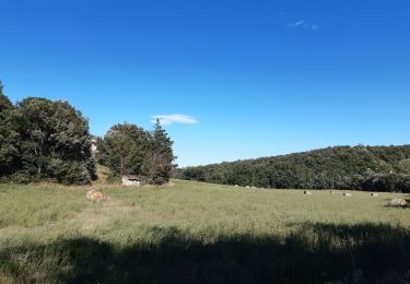
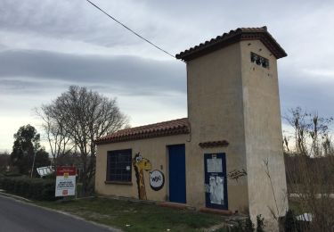
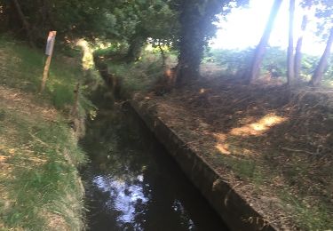
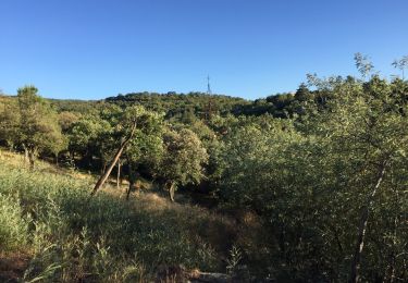
Randonnée Moteur Le Boulou - Chapelle Saint Luc - Photo
 beylyc
beylyc

Utilisateur

© OpenStreetMap contributors
Longueur
Longueur
12 km
Altitude max
Altitude max
201 m
Dénivelé positif
Dénivelé positif
229 m
Km-Effort
Km-Effort  
14,9 km
Altitude min
Altitude min
88 m
Dénivelé négatif
Dénivelé négatif
202 m
Boucle
Boucle
Non
Date de création :
2014-12-10 00:00:00.0
Dernière modification :
2014-12-10 00:00:00.0

(1 Avis)

Moteur
Moteur
40m
Difficulté : Très facile

Scannez ce code QR pour ouvrir la randonnée dans l'application SityTrail

Application GPS de randonnée GRATUITE

Logo SityTrail SityTrail

IGN / Instituts géographiques

Télécharger SityTrail sur l'App Store Télécharger SityTrail sur Google Play

Logo SityTrail SityTrail World

Le monde est à vous

Télécharger SityTrail sur l'App Store Télécharger SityTrail sur Google Play Télécharger SityTrail sur Huawei AppGallery

À propos

Randonnée Moteur de 12 km à découvrir à Occitanie, Pyrénées-Orientales, Le Boulou. Cette randonnée est proposée par beylyc.

Description

Petite balade sympa, dans les champs autour du Boulou, Chapelle St Luc.

Profil altimétrique

Points d'intérêt

Point d'intérêt Passa - Le grand arbre - Photo
beylyc
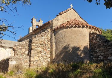
Point d'intérêt Passa - Chapelle Saint Luc - Photo
beylyc
Point d'intérêt Saint-Jean-Pla-de-Corts - Chemin ?? - Photo
beylyc
SAINT-JEAN-PLA-DE-CORTS 

Localisation

Pays :
France
Région :
Occitanie
Département/Province :
Pyrénées-Orientales
Commune :
Le Boulou
Localité :
Unknown
Départ:(Dec)
Départ:(UTM)
486109 ; 4708382 (31T) N.

Commentaires

Veuillez vous connecter pour laisser un commentaire ou une note


super apli


Randonnées à proximité

Randonnée Marche Le Boulou - rando de la bataille du Boulou - Photo
Marche
GUIDE
stef789

Marche

Très difficile
(1)
Le Boulou, Occitanie, Pyrénées-Orientales, France
8,4 km | 10,5 km-effort
3h 27min
Oui
Randonnée Marche Les Cluses - LES CLUSES 66 - Photo
Marche
jeff66

Marche

Facile
(9)
Les Cluses, Occitanie, Pyrénées-Orientales, France
9,4 km | 12,8 km-effort
1h 50min
Oui
Randonnée Marche Saint-Jean-Pla-de-Corts - 66 ST-JEAN-PLA-DE-CORTS, promenade autour du Tech, jusqu'au BOULOU  - Photo
Marche
jeff66

Marche

Facile
(1)
Saint-Jean-Pla-de-Corts, Occitanie, Pyrénées-Orientales, France
7,9 km | 8,8 km-effort
1h 18min
Oui
Randonnée Marche Montesquieu-des-Albères - MONTESQUIEU-DES-ALBERES 66 - Les Agouillous - les chemins de l'eau dans les Albères - Photo
Marche
jeff66

Marche

Moyen
(1)
Montesquieu-des-Albères, Occitanie, Pyrénées-Orientales, France
12,7 km | 13,9 km-effort
2h 16min
Oui
Randonnée Marche Le Boulou - LES THERMES DU BOULOU - 66 - Albera viva - PUIG de l'Estella - Photo
Marche
jeff66

Marche

Moyen
(2)
Le Boulou, Occitanie, Pyrénées-Orientales, France
7,3 km | 11,4 km-effort
1h 32min
Oui
Randonnée Marche Le Boulou - Bataille du Boulou (1793 - 1794) - Photo
Marche
GUIDE
toutankhcarton

Marche

Très facile
Le Boulou, Occitanie, Pyrénées-Orientales, France
10,4 km | 13,2 km-effort
1h 57min
Oui
Randonnée V.T.C. Le Boulou - Autour du Boulou (66) - Photo
V.T.C.
GUIDE
toutankhcarton

V.T.C.

Facile
Le Boulou, Occitanie, Pyrénées-Orientales, France
17 km | 19,5 km-effort
1h 54min
Non
Randonnée Marche Le Boulou - Pic Estelle (377m) - Le Boulou - Pyrénées orientales (66) - Photo
Marche
GUIDE
toutankhcarton

Marche

Très facile
Le Boulou, Occitanie, Pyrénées-Orientales, France
10,9 km | 15,9 km-effort
2h 19min
Oui
Randonnée Marche Montesquieu-des-Albères - montesquieu . puig sant cristau . prieuré Santa maria del villard  . montesquieu - Photo
Marche
GUIDE
stef789

Marche

Difficile
Montesquieu-des-Albères, Occitanie, Pyrénées-Orientales, France
15,7 km | 31 km-effort
7h 51min
Oui


Fermer
Mes abonnements